|
Below are two pieces of ephemera put out by the North American Manufacturing Company in the early 1900s.
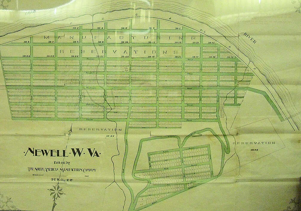
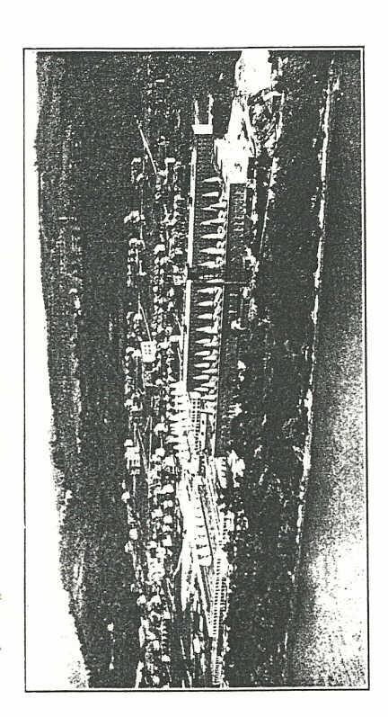
The first piece is an original map of Newell and Newell Heights with the land being divided up into lots to be sold. It is dated 1905 and the only structure listed is a schoolhouse at the corner of Sixth and Grant where the Presbyterian Church stands today. The Newell Bridge is shown in the map which would have just recently been built as is the trolley tracks that ran from East Liverpool, over the bridge, and along Washington Street. Before Seventh Street, the tracks dip into Laurel Hollow. After exiting the hollow back onto Washington Street, the trolley tracks end on Ninth Street.
This particular map hangs in the Wells Building in Newell and is property of the Tri-State Genealogical & Historical Society.
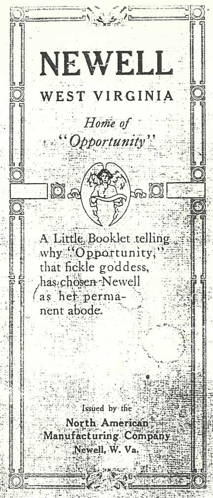
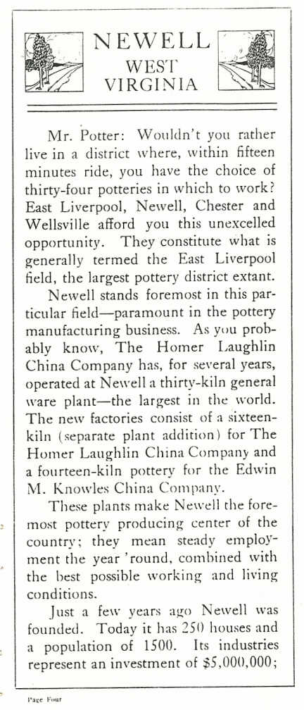
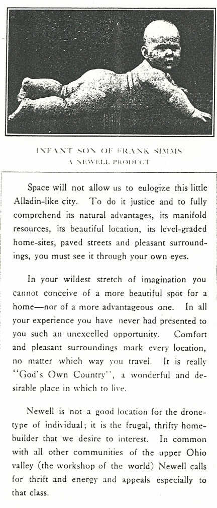
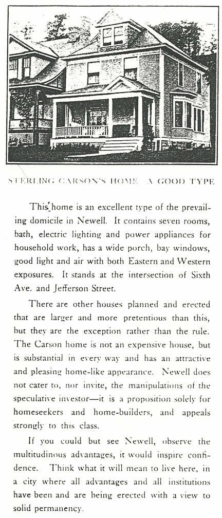
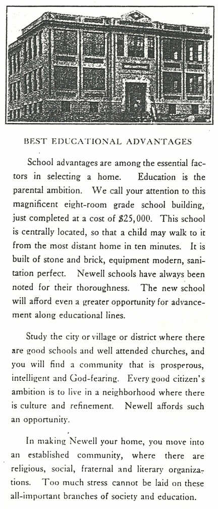
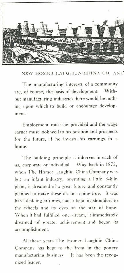
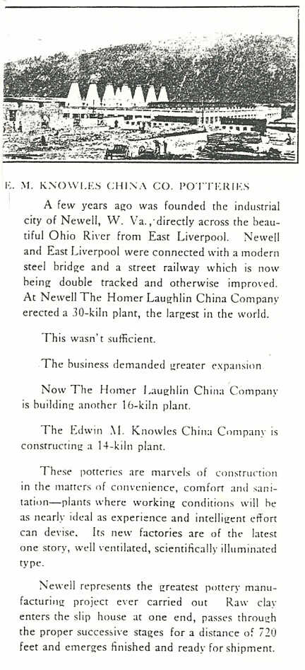
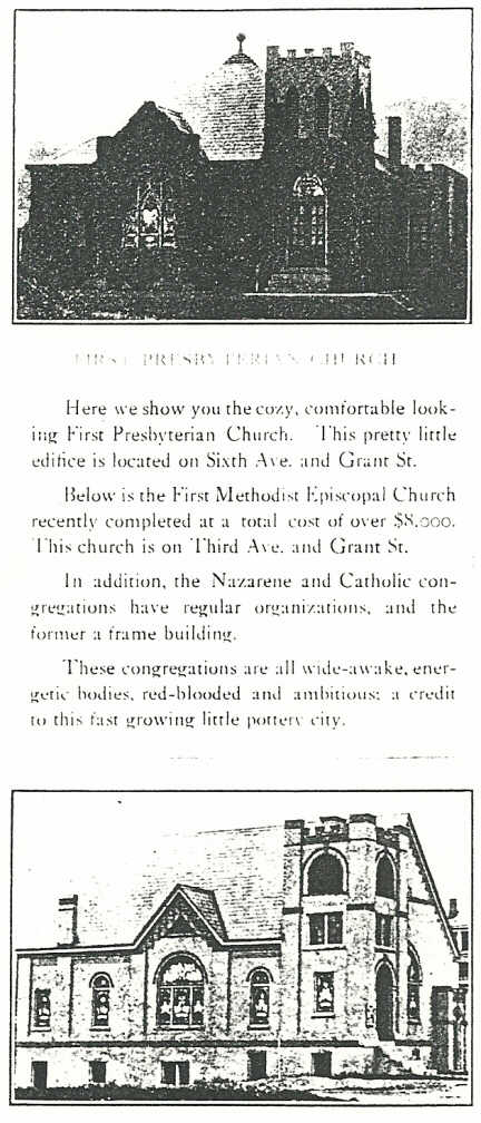
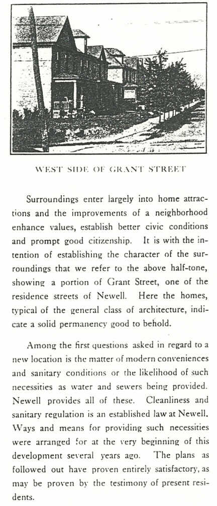
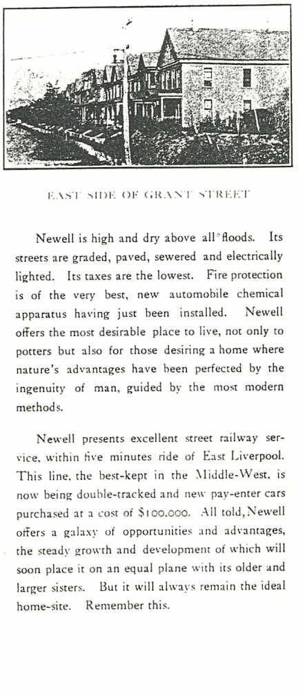
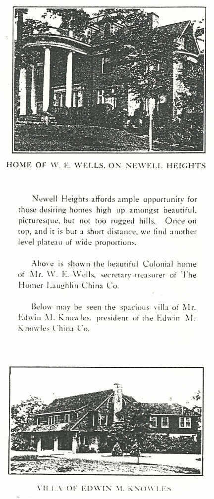
Below the map are photocopies of pages from a booklet printed by the Betz Printing Company of East Liverpool, Ohio and distributed by the North American Manufacturing Company. The book promotes Newell to potential citizens. Though undated, it looks to be from circa 1912 to 1913 since the Methodist Church and Fourth Street School are highlighted - both of which were built in 1912. The Edwin M. Knowles China Company is also mentioned and it opened in 1913. Finally, it also mentions the Homer Laughlin China Company was building "another 16-kiln plant." This would be plant number 5 which was completed in 1914.
Special thanks to Karen Staley for sharing this brochure.
|